|
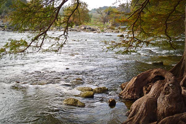
The park has 4 miles of river frontage and is located in the middle of a 9-mile stretch of the Guadalupe River. Park visitors may enjoy a variety of outdoor activities, including canoeing, fishing, swimming, tubing, picnicking, hiking and camping. Links: |
|
|
Address 3350 Park Road 31 Spring Branch, TX 78070 Phone GPS Coordinates The park is located in Comal and Kendall counties 30 miles north of downtown San Antonio at the north end of Park Road 31. It may be reached by traveling west on State Highway 46, 8 miles west of the intersection of State Highway 46 and U.S. Highway 281, or by traveling eastward on State Highway 46, 13 miles east of Boerne. |
|

Copyright © 2026 | WordPress Theme by MH Themes