|
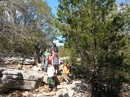
The park currently provides the outdoor enthusiast with opportunities for primitive camping, hiking, mountain biking, caving, fishing, swimming, paddling, birding and wildlife viewing, as well as guided tours. The trail system offers 32 miles of multi-use routes with something for explorers of every skill level, no equestrian access. This area of the river is characterized by slow moving water through the beautiful canyon lands of the Colorado River. Paddlers can travel upstream as well as down to explore or access the park by river, call for current conditions. Links: |
|
|
Address Phone GPS Coordinates The park is west of Lampasas, southeast of San Saba. From the intersection of U.S. Highways 281 and 183 in Lampasas, take FM 580 west 24 miles to Bend and follow the signs 4 miles to the park entrance. The headquarters and main camping are 6 miles past the entrance on the dirt road (unmarked County Road 442). |
|
Copyright © 2024 | WordPress Theme by MH Themes